We will work safely or not at all
40SEVEN Webinar No 5
An Introduction to Geophysical Surveys
July 30, 2024 @ 12:00
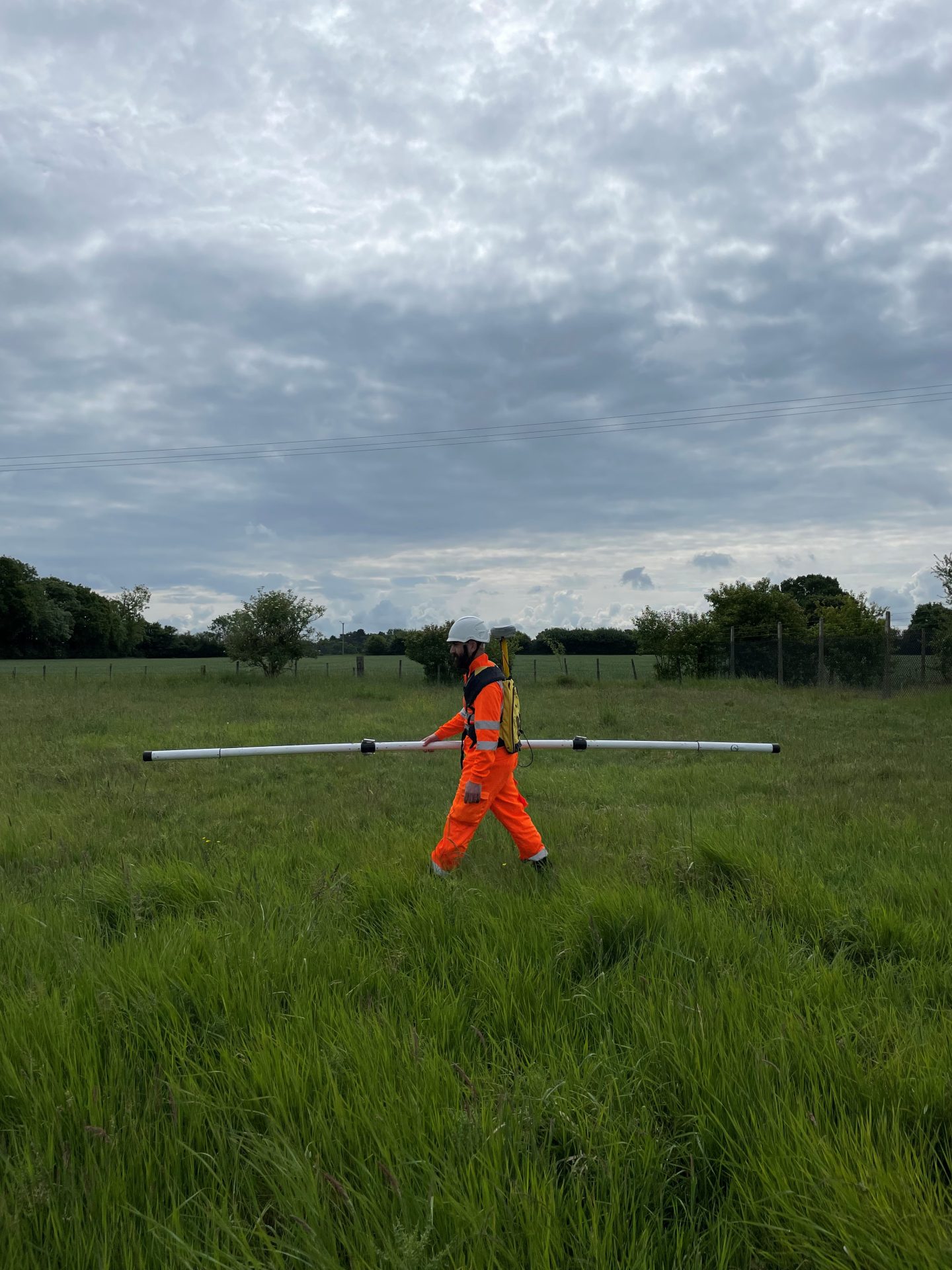
Our 5th Webinar focus’s on Geophysical Surveys in the Environmental and Structural sectors, covering the different methodologies and their advantages.
View more40SEVEN Webinar No 4
Specifying a Topographical Survey - Which technology to use?
May 20, 2021 @ 12:30pm
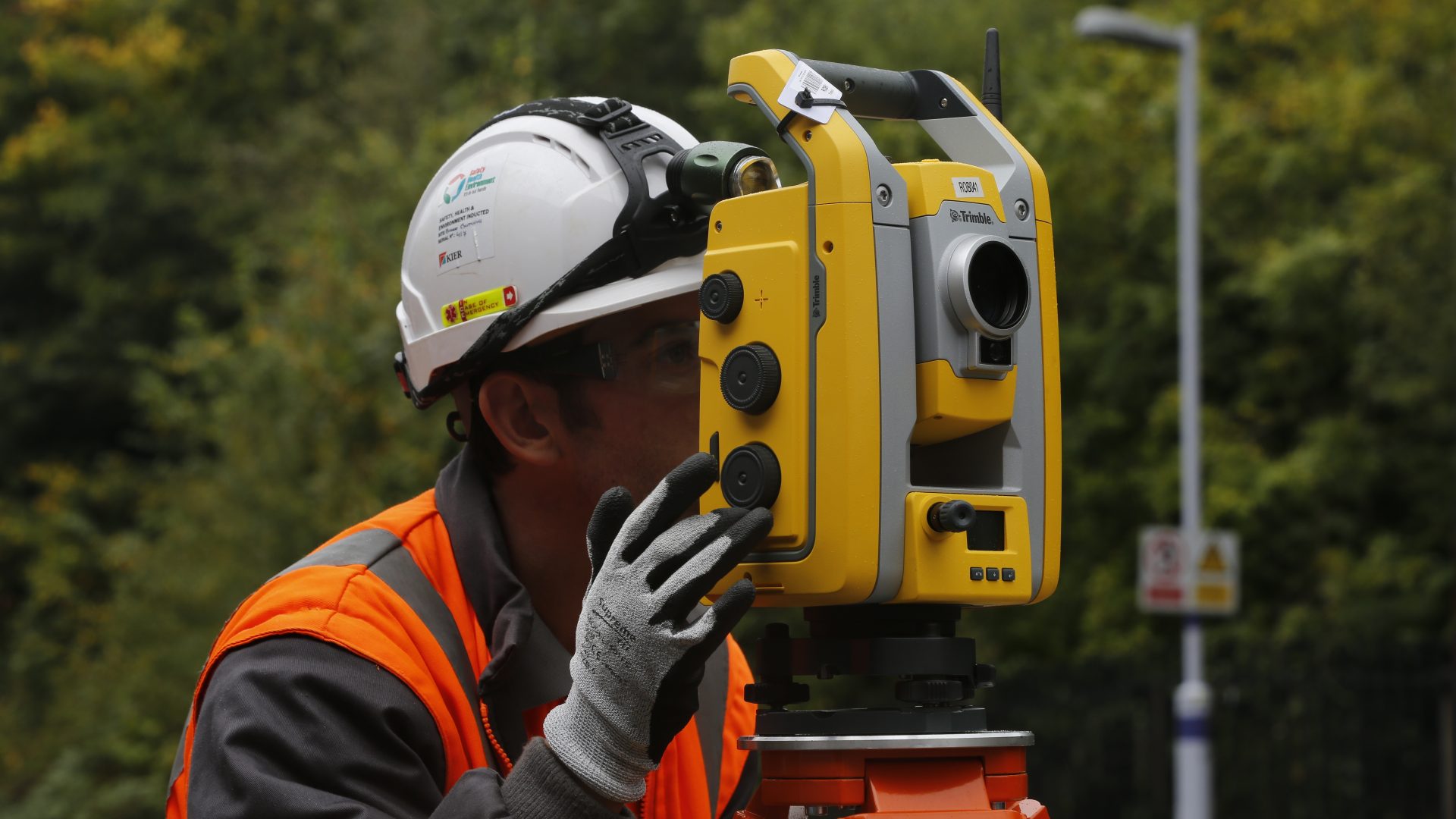
Our 4th Webinar focus’s on Topographical Survey specifications and how and when to use the different Technologies available, including Total Stations, GPS, Aerial Drones, Laser Scanning and Mobile Mapping.
View more40SEVEN Webinar No 3
Laser Scanning and 3D Modelling
February 25, 2021 @ 12:30pm
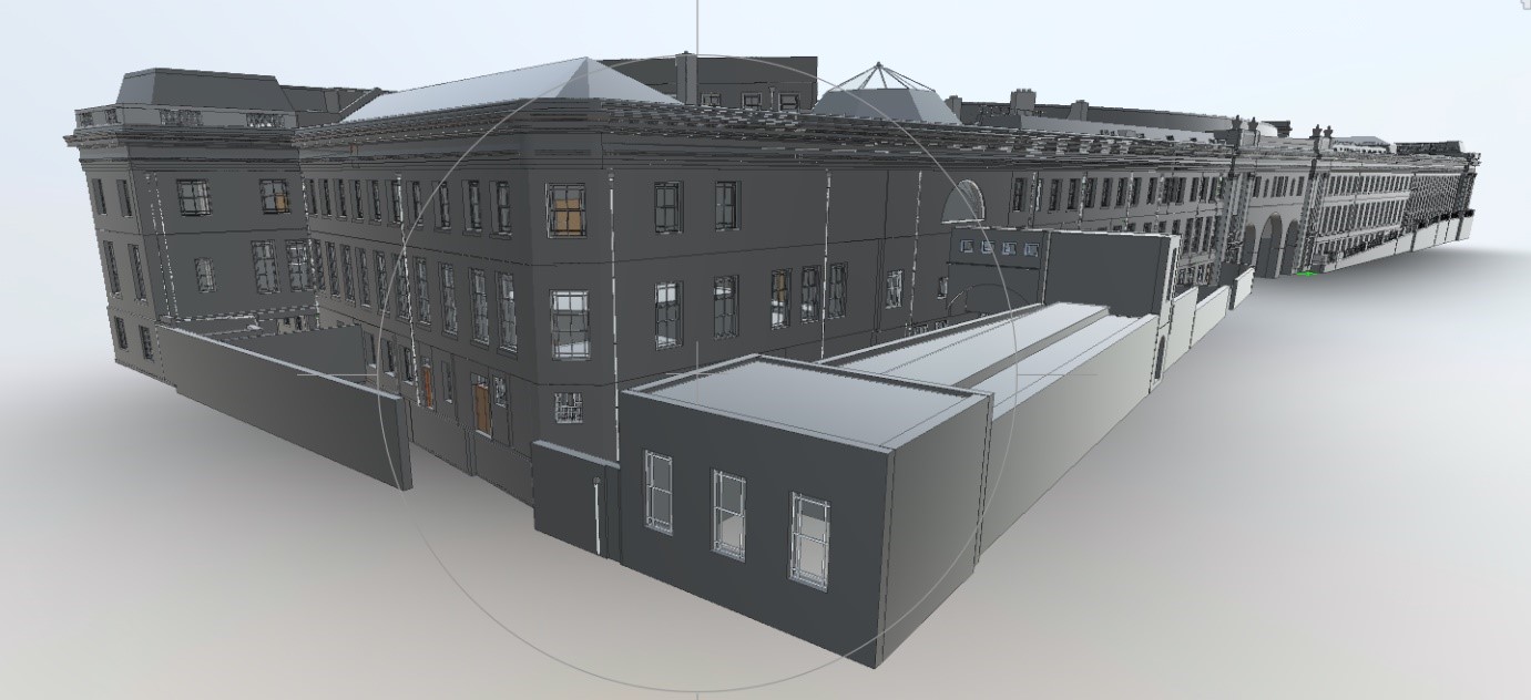
During our 3rd Webinar the 40Seven team provides you with an overview of Laser Scanning technology, how and where to use it and the outputs that can be derived from the data, including Point Clouds and 3D BIM Models.
View more40SEVEN Webinar No 2
PAS128 : Understanding the Standard
December 3, 2020 @ 12:30pm
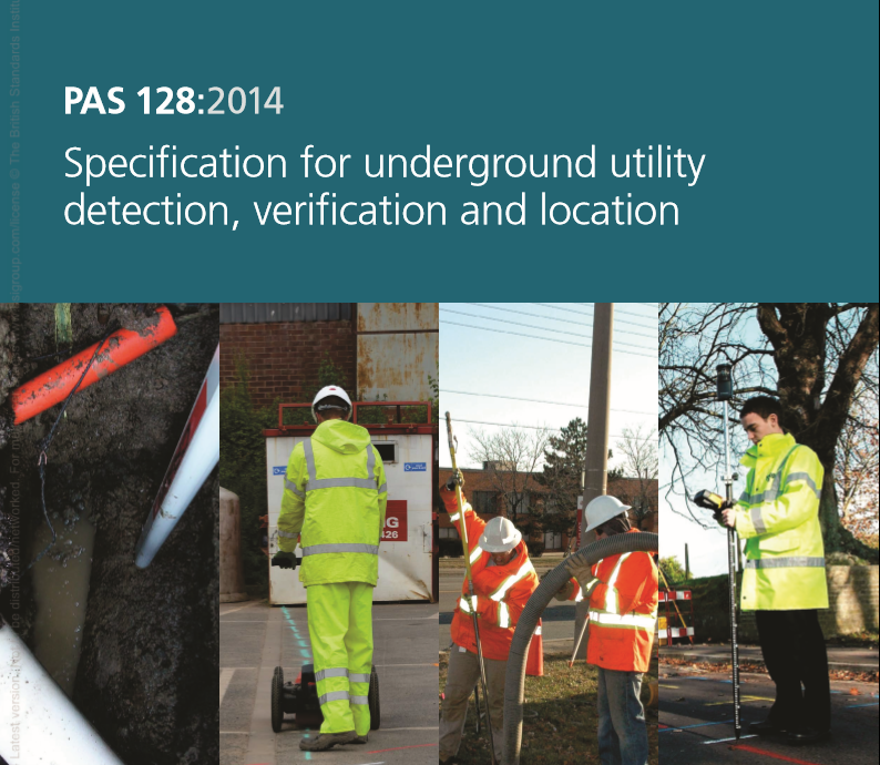
The 40Seven team will provide you with an overview of the PAS128 standard, explain when and how to use PAS128 to specify underground utility surveys and how to interpret a PAS128 utility survey.
View more40SEVEN Webinar No 1
When to use Mobile Mapping (for Underground Utility and Geophysical Detection)
October 1, 2020 @ 12:30pm
The 40SEVEN team take you through the process of Mobile GPR Mapping and explain where and when to use this game changing technology.
View more40SEVEN Case StudiesHow we've helped our clients


